FarmingIT are the experts in EM data collection and analysis. Our team developed the software and hardware for the first commercial EM mapping business in the UK in 1998, and brought our expertise and experience to Australia in 2000. In 2000 we purchased the first Dual-Dipole EM38 in Australia. Soon after, we were the first commercial operators to use EM38 in conjunction with an RTK GPS system for centimetre location accuracy. As of 2010 we are using an EM38-Mk2, with a Trimble Yuma rugged tablet computer. GPS location is provided by a GPS & Glonass dual-frequency RTK - the most accurate solution available. |

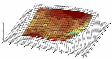
A raw conductivity map like this one shows where the variation lies across a paddock. In this map the darker areas are high conductivity and the lighter areas are lower conductivity. The apparent conductivity as measured by an EM38 is a factor of many soil variables including clay content, water content, salinity and bulk density. |
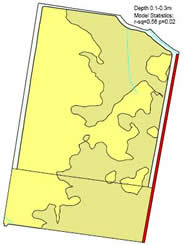
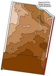
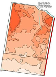
| We take a number of strategic soil cores, targeted to areas identified by the EM survey. We use laboratory analysis on the soil cores to obtain quantitative values for these variable, and using advanced statistical modeling are able to produce maps predicting the spatial variation of those variables. |
Predicted Sand% Predicted Silt% Predicted Clay% |
|
You need to upgrade your Flash Player, or turn on JavaScript in your browser.
 |
||
|
||
 |
||


